Company
SKYGEOTECH
SKYGEOTECH W.L.L. is TVT's main technology service provider. Based in Manama (BAHRAIN), our company has authorized representatives in various regions of the world. We are proud of our scientific team, which consists of outstanding specialists in the field of geology, geophysics, cartography, 3D modeling, programming, etc. Our total accumulated research experience is more than 200 years. This allows us to offer fast and efficient solutions to geological problems almost anywhere in the world. We start work immediately after receiving the geographical coordinates of the study area and are ready to show the first results in 3-4 weeks.
ADMINISTRATIVE MANAGEMENT OF THE PROJECT

BUSINESS MANAGEMENT EXPERIENCE — OVER 30 YEARS
Professional development, training:
- “Texas Consulting and Applied Research” Company at the University of Texas, USA (strategic planning and personal management).
Completed Business Projects:
- Organization of an insurance company in Russia with an extensive network of regional branches throughout the country (General Director, Chairman of the Board of Directors);
- Organization in Russia of the first Bank operating on Islamic principles (Project Manager, Co-Chairman of the Board of Directors);
- Organization in Russia of a specialized tour operator for sending pilgrims to Saudi Arabia (General Director, Chairman of the Board of Directors).
Current Business Project:
- SKYGEOTECH. Distribution of TVT technology and sale of mineral prospecting services worldwide.

SCIENTIFIC BASIS OF THE TECHNOLOGY

EDUCATIONAL BACKGROUND, ACADEMIC DEGREE:
- Graduated Geophysics faculty of Kazakh Polytechnic Institute in 1977.
- Specialty – Mining engineer-geophysicist.
- Postgraduate study in Leningrad State University.
- Doctor of Geology-Mineralogy Sciences in 1998, thesis «Models of the crust and upper mantle of Kazakhstan based on magnetelluric studies».
- Winner of «The Engineer of the Year of the Russian Federation» in 2004.
- Professor of Kazan Federal University of RF since 2009.
- Full member of the Russian Academy of Natural Sciences, «Oil and Gas» section since 2009.
EDUCATIONAL BACKGROUND, ACADEMIC DEGREE:
Field of scientific interest – geophysics, geotectonics, innovative technologies.
Mr. Karimov leaded 4 young scientists to PhD degree.
Author of more than 100 scientific works and 5 monographs.
COMPANY DIVISIONS AND PERSONNEL
HEAD OFFICE
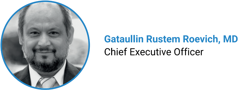
- CEO
- Deputy of the CEO, Head of the Research & Production Department
- Head of IT Technology Department
- Business administrator for regional development
- Lawyer for international practice
- Chief accountant
- etc.
IT TECHOLOGY DEPARTMENT
- Head of department
- Cluster of specialists
RESEARCH & PRODUCTION DEPARTMENT
- Leading geophysicist
- Leading cartography and geodesy researcher
- Leading geophysical problems computing specialist, mathematician
- Leading mathematician-system programmer
- Leading 3D-modeling and design specialist
- etc.
FOREIGN REPRESENTATION
Administrator for regional development
- Saudi Arabia, Bahrain, Kuwait,
- Nigeria, Botswana, Guinea, Congo
- Canada, USA
- Mexico
- Peru, Bolivia
- Cameroon, Chad
- Indonesia, Malaysia
- Bangladesh
TEAM OF SPECIALISTS, HARDWARE, AND SOFTWARE
Our team includes outstanding specialists in the fields of geology, geophysics, cartography, 3D modeling, etc. Including - 2 doctors and 3 candidates of sciences.
The total accumulated experience of the work of the specialists of the research team is more than 200 years.
THE FOLLOWING EQUIPMENT IS USED IN TVT RESEARCH:
a. MODIS (Moderate Resolution Imaging Spectroradiometer), installed on board the American satellites Terra and Aqua;
b. Earth remote sounding satellite LANDSAT 7 & 8 with Thermal InfraRed Sensor (TIRS);
c. Cloud Server with high capacity and performance for special calculations and data storage.
d. Computers with High Specification and other office equipment.
LIST OF SPECIAL SOFTWARE FOR TVT RESEARCH:
- «Thermal Image Processing v3.0» (authoring software);
- GIS package for working with remote sensing data ENVI 5.0;
- GIS package for mapping, reporting, and mapping analysis ArcGIS 10.2 (ESRI);
- GIS package for visualization and processing of georeferenced vector and raster data Global Mapper 15 (Blue Marble Geographics);
- The program for processing the digital data sets, modeling, and analysis of surfaces Surfer 17.0 (Golden Software).
- Graphic processing package for vector images Corel DRAW X6 (Corel Corporation).
- Other software.
